 SeaMemo
GPS tracking for sailors and motorboaters
SeaMemo records every leg of your trip by GPS: route, distance in nautical miles, duration and average speed. It runs in the background and without a signal. Once you are back in range, everything syncs.
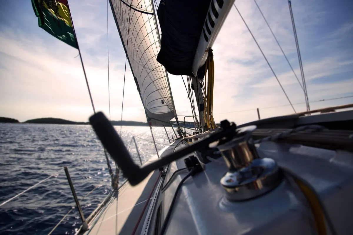
What is recorded on every leg
- Route as a line on the map, from casting off to tying up
- Distance in nautical miles, duration and average speed in knots
- Night passages and night arrivals, detected automatically (important for the sea miles certificate)
- Departure and arrival harbour and weather, added when you close the leg
- Mode: sailing or motorboat


Trips and legs: how SeaMemo is organised
A trip is the whole journey, for example a week in the Dodecanese. It consists of legs, the individual passages from harbour to harbour or bay to bay. You start tracking for each leg. At the end the trip sums it all up: total miles, the route across all days, photos and crew.
This structure has a purpose. It matches what a classic logbook records, and exactly what you need later for proof of sea miles.
At sea without a signal
Between islands, mobile coverage is often hit and miss. That is why SeaMemo records everything locally. The map needs a connection, the recording does not. Once the phone has a signal again, the app syncs the leg, photos and entries with your crew.
Edit and add afterwards
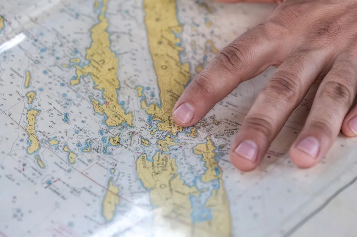
Forgot to track, phone ran flat, wrong harbour? No problem: routes can be edited afterwards, legs added by hand and past trips added in full. That way trips from previous years also end up in your sailor profile.
What SeaMemo is not
SeaMemo is not a chart plotter or a navigation app. There are no course lines, no AIS targets and no waypoint navigation. Keep using your plotter, paper chart or a dedicated app to navigate. SeaMemo focuses on what stays after the trip: logbook, memories and proof. For a comparison of apps see the best sailing logbook apps.
Get SeaMemo for free
Logbook, travel journal and crew in one app. For iPhone and Android, works offline at sea.


Frequently asked questions
Does tracking need internet?
No. Recording only uses GPS. Without a signal the data is stored on the phone and synced later. Only the map display needs a connection.
How much battery does tracking use?
SeaMemo records in the background and is easy on the battery. The exact amount depends on the device. On long legs a charging cable or power bank is still a good idea.
What if I forget to start tracking?
You can add legs afterwards, edit the route and even add entire past trips.
Does the app distinguish between sailing and motoring?
Yes. You choose sailing or motorboat mode when you start. Your sailor profile later shows how your miles split between sail and engine.